
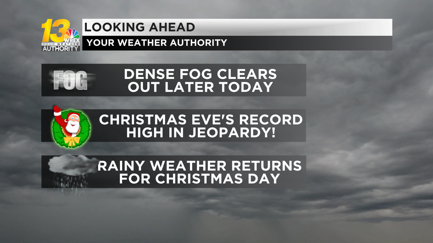
We have a foggy start to Christmas Eve, but it appears to clear out by the time Santa would need Rudolph's bright red nose to navigate through the Stateline, but rain showers are on the way shortly after his arrival.
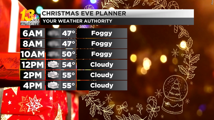
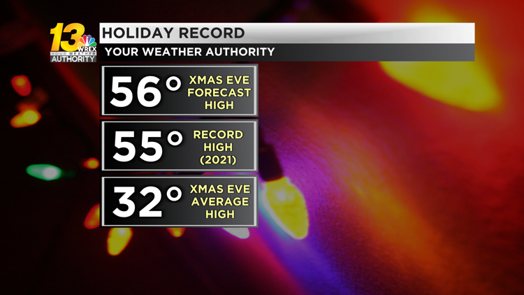
Areas of fog will dissipate later this morning, becoming completely clear in the afternoon as a warm front lifts northward and southerly winds pick up a bit. We will stay cloudy during the day, but temperatures warm up into the mid 50s, potentially breaking Rockford's Christmas Eve record high of 55°.
Breezy winds continue into Christmas Day, with gusts as high as 30 mph on Monday. Temperatures stay in the upper 40s in the nighttime as Santa delivers his gifts to the Stateline, but it won't warm up much during the day on Monday (low 50s for highs) as rain returns.
Ballpark timing for the beginning of light rain is around 8 a.m. for the I-88 corridor, 9 a.m. for U.S. 20/I-90, and 10 a.m. for southern Wisconsin. Light rain showers will continue just about non-stop until Monday evening.
The low pressure system bringing these rain showers will stall and pivot eastward over our area in the days after Christmas, leading to sustained small chances for precipitation (the careful wording is intentional!).
From Tuesday through Thursday, off-and-on showers can be expected at just about any time. Initially, temperatures will favor rain, but after about Tuesday night, temperatures will have cooled off enough that some wet snow may mix in at times (particularly any nighttime showers).
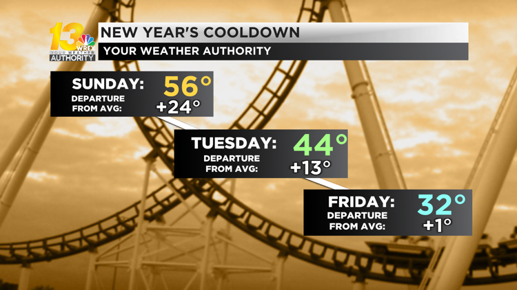
Little (if any) accumulations are expected with any snow that mixes in, but it will be something to keep an eye on for the busy travel period after Christmas. Highs settle back down to near average levels in the low-to-mid 30s as we wrap up potentially one of the top-5 warmest Decembers on record in the Stateline.


