By WeatherBug's Domenic Brooks
To kick off things on Tuesday, there will be a severe weather threat taking aim at parts of the Midwest and Mid-South. A low-pressure system will be traversing from the central Plains to the Great Lakes over the day, pulling warm, moist air into the central Mississippi Valley where the greatest threat from severe storms lies. The exact extent of the threat will have to be monitored in the days leading up, but damaging winds and tornadoes are possible.
Along the northern side of the low pressure’s path, colder air will allow for snow, sleet, and freezing rain to fall across northern Plains and Upper Midwest. Snow showers will also be occurring across the Rockies throughout the day, with rain at lower elevations, especially in the Southwest and Pacific Northwest. Farther east, scattered rain and thunderstorms will overspread much of the Southeast and Ohio Valley by the afternoon.
On Wednesday, most areas east of the Mississippi will be engulfed by either rain or snow showers at some point in the day as the low-pressure system, now over southern Canada, drives a cold front through the East. On the other side of the country, the Pacific Northwest will also contend with rain and snow showers throughout the day, while parts of the Southwest near the Mexican border may see some rain.
Overnight Wednesday, the cold front will be pushing through the East Coast with a line of storms that will stretch from Maine down to the Gulf Coast. Some snow is possible along the backside of the front in the Northeast as cold air rushes in behind the front, but for most folks this will be a rain maker.
By Thursday morning, some rain and snow will linger across parts of the East Coast, but most areas will clear out by the afternoon as high pressure settles in over the region. Heavy rain and snow will continue across the Northwest throughout the day as a cold front blows through the region, spreading southwards into California and eastwards into the northern Rockies. Rain showers and thunderstorms will also be spreading throughout Texas and parts of the Lower Mississippi Valley by the evening.
Friday will be another soaker for the Deep South, as a cluster of scattered showers and thunderstorms develop across the region. There will be no rest for the weary on the West Coast either as rain and snow continue to pound the region, with snow showers also spreading into the northern Rockies.
Come Saturday, most of the Western U.S. will be under the influence of snow or rain as showers of both spread deeper into the interior. Areas along the Gulf Coast and in the Southeast will continue to contend with some scattered rain showers, but much of the nation’s midsection should be able to stay dry.
Sunday and Monday present an interesting case, as these two will be days to watch going forward for folks across the Great Plains. There are signals in the models that show a favorable setup for severe weather on either of these days, but there is still a sizeable amount of uncertainty regarding the timing and exact impacts.
There will not be any shortage of interesting weather going on elsewhere in the country over these two days however, as snow and rain continue their reign over much of the West. There may also be the potential for a major winter storm across the northern Plains, though uncertainty is also high regarding this threat. Meanwhile, scattered rain and thunderstorms appear possible across much of the Mississippi Valley and Southeast on both Sunday and Monday.
With regards to temperatures, signs point to an above average week for most regions east of the Rockies, which means an early taste of spring will be in store for many folks. The Western U.S. on the other hand will likely experience below average temperatures throughout the week as old man winter stakes his claim over the region.
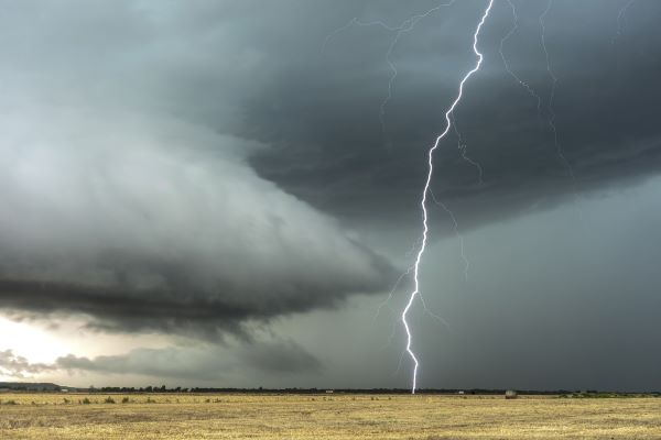
Featured image via eyeonicimages on Pixabay.com


